Fiss - Schönjoch · Panorama/video

Provider panorama/video player. Capture time is shown by the camera.
Open camera page ↗
Each colour starts at the value shown. Wind colours match across all three units. Dry cells stay neutral. Colours describe the displayed values, not official weather warnings.
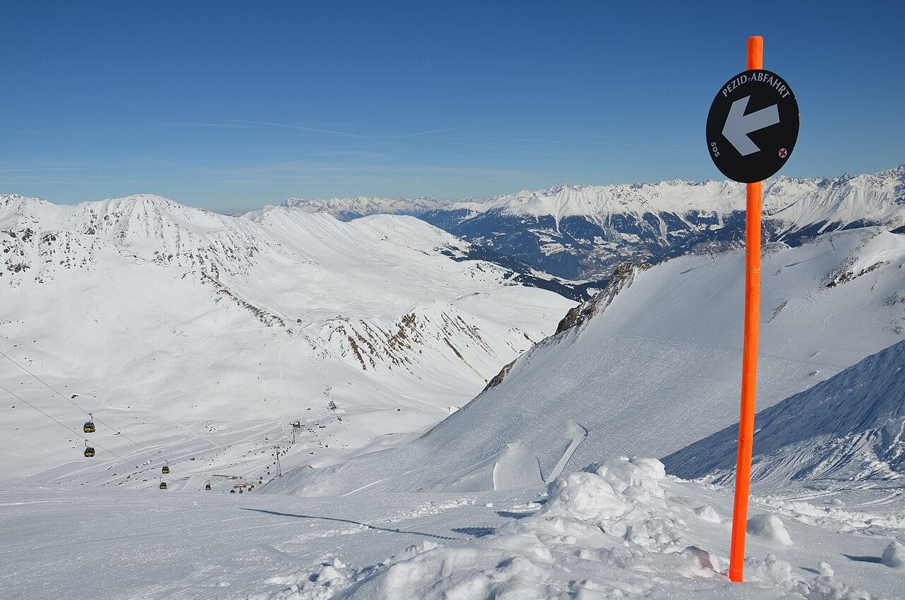
Serfaus Fiss Ladis is a downhill ski area in Tyrol, Austria. Mapped terrain includes easy, intermediate, advanced, freeride routes. Its mapped lift network extends from approximately 1222 to 2817 metres above sea level.
Data: OpenSkiData / OpenSkiMap, OpenStreetMap contributors (ODbL), Skimap.org, Who's On First, Mapterhorn.
Provider panorama/video player. Capture time is shown by the camera.
Open camera page ↗
Provider panorama/video player. Capture time is shown by the camera.
Open camera page ↗