SNOWREPORT
METEOCAM
Worldwide Ski Resort Forecasts
GFS, ECMWF & ICON weather models
Up to 16-day outlook
2,272 ski resorts Newest resort: Moose Mountain Ski Resort ↗
125 snow cams Newest camera: Skeetawk ↗
Mountain weather expertise since 1996

Colour guide Temperature · Wind · Rain · Snow
Temperature °C< −10 / −10 / 0 / 10 / 20 / 30+
Wind km/h< 10 / 10 / 29 / 50 / 75+
Rain mm< 1 / 1 / 3 / 10 / 20+
Snow cm< 1 / 1 / 5 / 10 / 20+
Each colour starts at the value shown. Wind colours match across all three units. Dry cells stay neutral. Colours describe the displayed values, not official weather warnings.
Mt. T - Low lift station · 743 m
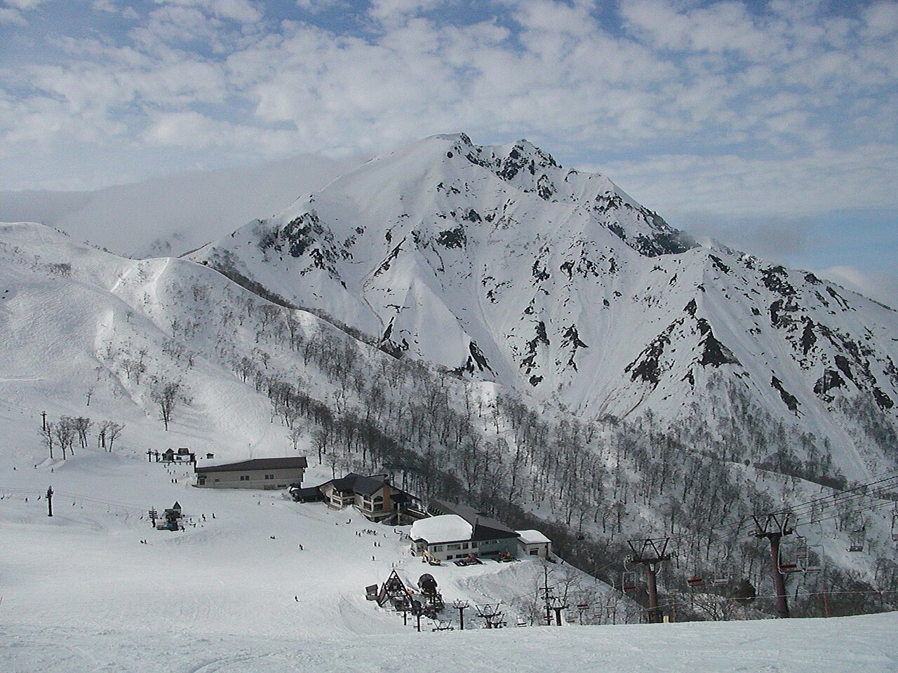
Mt. T is a downhill ski area in Gunma Prefecture, Japan. Mapped terrain includes beginner, easy, intermediate, advanced routes. Its mapped lift network extends from approximately 743 to 1489 metres above sea level.
Data: OpenSkiData / OpenSkiMap, OpenStreetMap contributors (ODbL), Skimap.org, Who's On First, Mapterhorn.