世界のスキー場の天気予報

色の凡例 気温 · 風 · 雨 · 雪
各色は表示された値から始まります。風の色は3種類の単位で対応しています。降水のないセルは中立色です。色は表示値を示すもので、公的な気象警報ではありません。
Grindelwald-Wengen and the Jungfrau - base · 1062 m
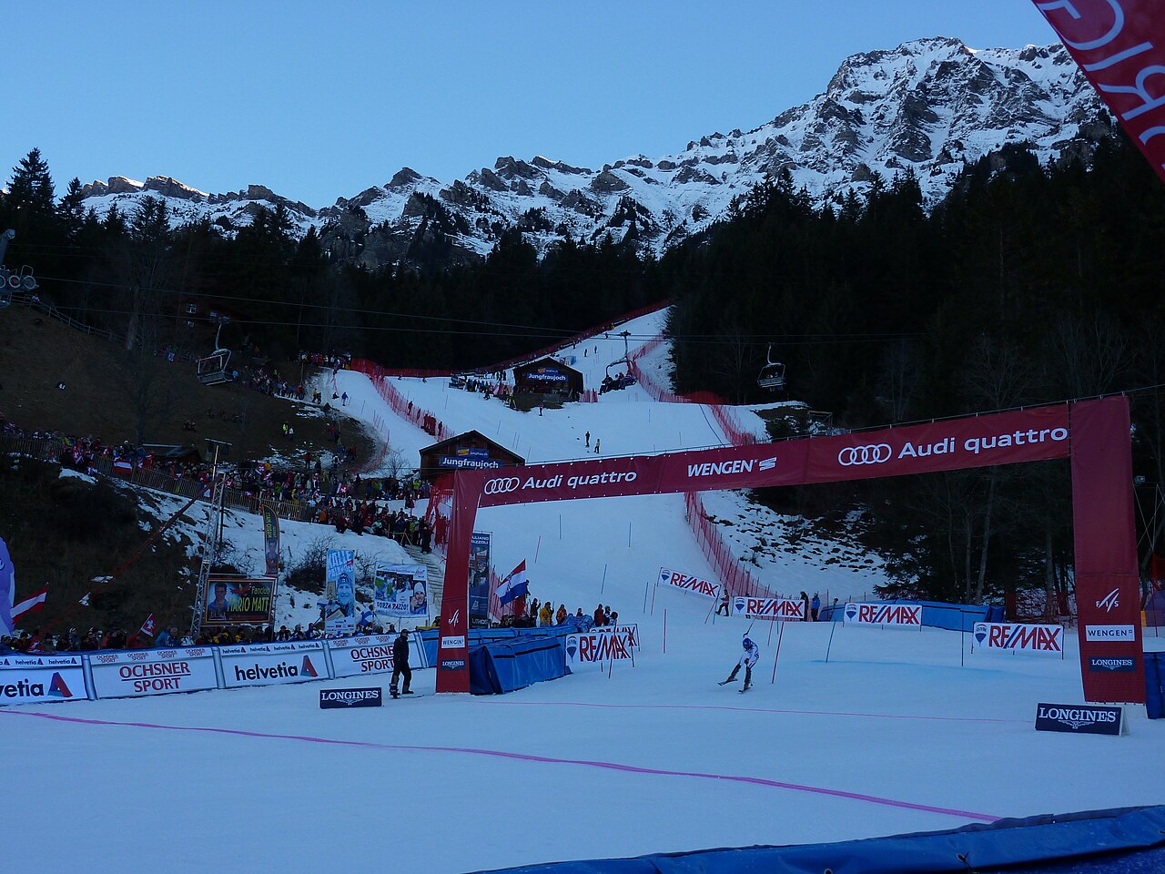
Grindelwald-Wengen covers the Kleine Scheidegg and Männlichen sectors, with the Lauberhorn slopes forming part of its identity. The wider Jungfrau Ski Region also includes Grindelwald-First and Mürren-Schilthorn. These names describe distinct ski areas: a regional pass or a regional piste total should not be read as one uninterrupted ski route.
For orientation, begin with the part of the official map that matches your departure point. A day around Kleine Scheidegg is a different plan from one at First or Mürren. Railways and mountain lifts are part of the area’s transport network, so the return journey deserves the same attention as the first ascent.
The forecast on this page starts at 1,062 m. It is a lower reference for this broad mountain destination, not a prediction for the surrounding summits. Compare weather at your chosen skiing height and at the lower return point. A temperature rise can change the precipitation type between those levels. The public forecast cannot determine the condition or opening of an individual piste; use the regional live report for that detail.
Official sources: Jungfrau Ski Region · Grindelwald-Wengen. Reviewed 18 October 2026.