Arabba · Porta Vescovo · Panorama

Provider panorama/video player. Capture time is shown by the camera.
Open camera page ↗
各色は表示された値から始まります。風の色は3種類の単位で対応しています。降水のないセルは中立色です。色は表示値を示すもので、公的な気象警報ではありません。
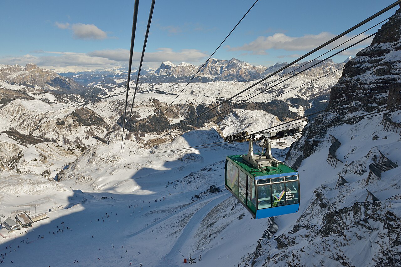
Arabba lies on the Sellaronda network, with Porta Vescovo providing a distinct high-mountain sector between the Sella landscape and the Marmolada. The Arabba–Marmolada map also shows the Pordoi, Padon and Campolongo connections. That geography makes Arabba a starting point for different kinds of day: local runs, part of the Sella circuit, or a longer excursion towards the Marmolada.
These choices are not interchangeable. Trace the actual route on the piste map and look at the difficulty markings, connections and return journey. A regional name on your ski pass is not evidence that every connecting lift is operating. The linked official map is the 2025–26 edition; consult the operator’s current information for changes before travelling.
This page’s lower reference is at 1,607 m. For Porta Vescovo or a higher excursion, select the appropriate elevation and compare the timing of wind, cloud and precipitation. If both models forecast snow but disagree on when it arrives, that may matter more for a day-long circuit than a small difference in the final total. A lower camera can show a different precipitation type from a higher one during the same episode.
Official sources: Arabba — Porta Vescovo · Arabba–Marmolada piste map. Reviewed 18 October 2026.
Provider panorama/video player. Capture time is shown by the camera.
Open camera page ↗