SNOWREPORT METEOCAM

世界のスキー場の天気予報

GFS・ECMWF・ICON 気象モデル 最大16日先までの予報
1996年からの山岳気象の専門知識
その他
色の凡例 気温 · 風 · 雨 · 雪
気温 °C< −10 / −10 / 0 / 10 / 20 / 30+
風速 km/h< 10 / 10 / 29 / 50 / 75+
雨量 mm< 1 / 1 / 3 / 10 / 20+
降雪量 cm< 1 / 1 / 5 / 10 / 20+

各色は表示された値から始まります。風の色は3種類の単位で対応しています。降水のないセルは中立色です。色は表示値を示すもので、公的な気象警報ではありません。

Ankogel Mallnitz - Low lift station · 1271 m

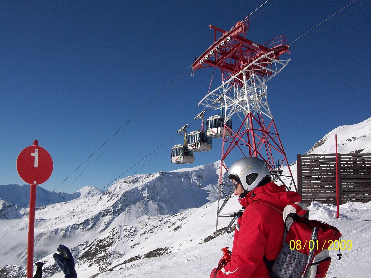
Snow-covered ski area at Ankogel Mallnitz. Photo: commander-pirx. Archive image; resized.
Snow-covered ski area at Ankogel Mallnitz. Photo: commander-pirx. Archive image; resized. Source · CC BY-SA 3.0

Ankogel Mallnitz is a downhill ski area in Carinthia, Austria. Mapped terrain includes easy, intermediate, advanced routes. Its mapped lift network extends from approximately 1271 to 2630 metres above sea level.

Resort website

Data: OpenSkiData / OpenSkiMap, OpenStreetMap contributors (ODbL), Skimap.org, Who's On First, Mapterhorn.

Resort cameras

Ankogel upper station - southeast view - webcam image
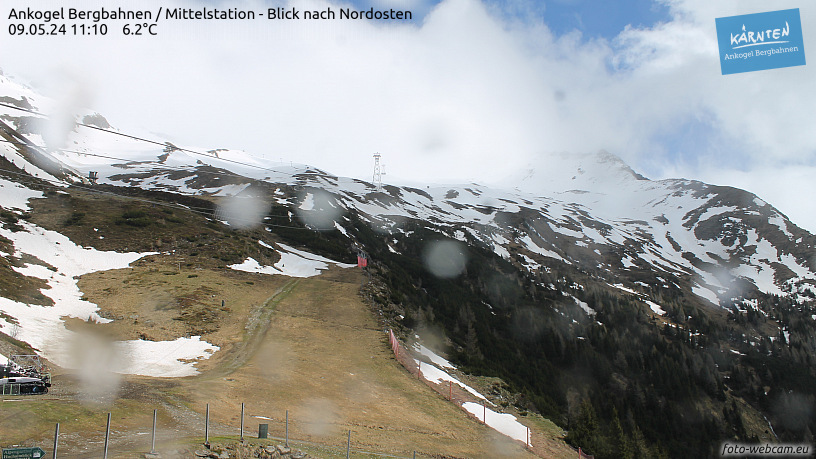
Ankogel Mallnitz Ankogel upper station - southeast view - webcam image webcam

Camera image · refreshes every 60 seconds while visible.

Open camera page ↗

Ankogel middle station - valley view - webcam image

Ankogel Mallnitz Ankogel middle station - valley view - webcam image webcam

Camera image · refreshes every 60 seconds while visible.

Open camera page ↗
Ankogel Mallnitz - Base lift station · 1280 m

Ankogel Mallnitz - Top lift station · 2630 m