SNOWREPORT METEOCAM

Previsioni per le stazioni sciistiche di tutto il mondo

Modelli meteo GFS, ECMWF e ICON Previsioni fino a 16 giorni
125 webcam sulla neve Ultima webcam aggiunta: Skeetawk ↗
Esperienza nel meteo di montagna dal 1996
Altro
Legenda dei colori Temperatura · Vento · Pioggia · Neve
Temperatura °C< −10 / −10 / 0 / 10 / 20 / 30+
Vento km/h< 10 / 10 / 29 / 50 / 75+
Pioggia mm< 1 / 1 / 3 / 10 / 20+
Neve cm< 1 / 1 / 5 / 10 / 20+

Ogni colore inizia dal valore indicato. I colori del vento corrispondono nelle tre unità di misura. Le celle senza precipitazioni restano neutre. I colori descrivono i valori visualizzati, non avvisi meteo ufficiali.

Snow Farm - Ski area forecast point · 1518 m

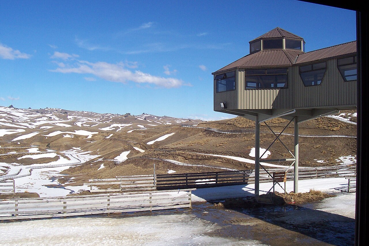
Winter landscape at Snow Farm. Photo: User:Maelgwn. Public domain. Archive image; resized.
Winter landscape at Snow Farm. Photo: User:Maelgwn. Public domain. Archive image; resized. Source
Snow Farm is a cross-country ski area near Wanaka in the Cardrona Valley, New Zealand. Its Nordic trails and snow activities are separate from the downhill ski areas nearby. The forecast point is at the lodge area, approximately 1,518 m. Webcam images carry the capture date; check the timestamp and operator information for current conditions. Official webcams and information

Resort cameras

Snow Farm webcam image - check capture timestamp
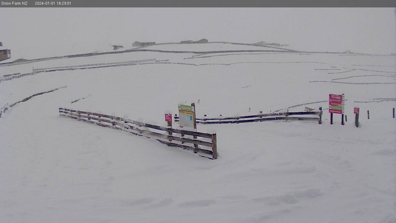
Snow Farm Snow Farm webcam image - check capture timestamp webcam

Camera image · refreshes every 60 seconds while visible.

Open camera page ↗