Roundhill ski area
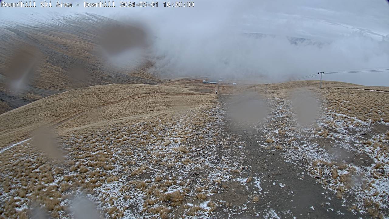
Camera image unavailable
Camera image · refreshes every 60 seconds while visible.
Open camera page ↗
Jede Farbe beginnt beim angegebenen Wert. Die Windfarben stimmen in allen drei Einheiten überein. Trockene Zellen bleiben neutral. Die Farben beschreiben die Werte und sind keine amtlichen Wetterwarnungen.
ECMWF · Modelllauf: Nächste Aktualisierung erwartet:
Tag Uhrzeit (UTC) Temp. (°C) Luftfeuchtigkeit (%) Wind (km/h) Wind (Knoten) Wind (Bft) Richtung Niederschlag (mm) Neuschnee (cm) Luftdruck (hPa) Nullgradgrenze (m) Wetterlage | Mittwoch, 04/11 06:00 11.2 73 9 5 2B N — — 1016 3078 Partly cloudy 37% cloud  09:00 8.6 84 5 3 1B N 0.01 0 1017 3083 Partly cloudy 47% cloud 12:00 7.1 88 5 3 1B N 0 0 1016 3075 Cloudy 54% cloud  15:00 6.8 88 5 3 1B N 0.03 0 1015 3060 Overcast 84% cloud  18:00 6.8 86 6 3 2B NW 0.01 0 1015 3055 Cloudy 63% cloud 21:00 10.8 70 9 5 2B NW 0 0 1014 3057 Cloudy 77% cloud Donnerstag, 05/11 00:00 13.7 59 10 5 2B NW 0 0 1012 3053 Cloudy 61% cloud 03:00 13.1 61 10 5 2B N 0.05 0 1011 3045 Overcast 93% cloud 06:00 11.2 73 9 5 2B N 0.06 0 1010 2994 Overcast 100% cloud 09:00 9.4 88 9 5 2B N 0.26 0 1010 3028 Overcast 100% cloud 12:00 8.9 90 9 5 2B N 0.78 0 1008 3017 Overcast 97% cloud 15:00 8.8 88 10 6 2B N 1.5 0 1006 3001 Overcast 97% cloud 18:00 9.1 87 13 7 3B N 0.29 0 1005 2989 Overcast 82% cloud 21:00 11.9 73 15 8 3B NW 0.09 0 1005 2987 Overcast 83% cloud Freitag, 06/11 00:00 13.2 65 16 9 3B NW 0.16 0 1005 2992 Cloudy 65% cloud 03:00 13.4 60 20 11 4B NW 0.16 0 1004 2989 Overcast 84% cloud 06:00 11.4 70 15 8 3B NW 0.12 0 1004 2986 Cloudy 69% cloud 09:00 9.3 80 11 6 2B NW 0.09 0 1007 3000 Overcast 80% cloud 12:00 8.2 84 11 6 2B NW 0 0 1007 3005 Cloudy 60% cloud 15:00 6.8 88 6 3 2B NW 0 0 1008 3010 Cloudy 58% cloud 18:00 7.1 90 7 4 2B N 0 0 1010 3023 Cloudy 52% cloud 21:00 10.7 76 4 2 1B N 0.02 0 1011 3030 Cloudy 73% cloud Samstag, 07/11 00:00 12.3 69 5 3 1B N 0.36 0 1010 2947 Overcast 96% cloud 03:00 12.6 73 3 2 1B NE 0.81 0 1009 2962 Overcast 97% cloud 06:00 10.1 87 4 2 1B E 2.0 0 1010 2948 Overcast 90% cloud 09:00 7.9 97 3 2 1B NE 0.62 0 1012 2893 Overcast 84% cloud 12:00 7.2 95 3 2 1B N 0.09 0 1012 2940 Overcast 95% cloud 15:00 6.7 94 3 2 1B NW 0 0 1012 2893 Overcast 95% cloud 18:00 6.7 93 3 2 1B NW 0 0 1013 2956 Cloudy 75% cloud 21:00 11 78 2 1 1B N 0 0 1013 2978 Cloudy 55% cloud Sonntag, 08/11 00:00 13.3 65 0 0 0B SE 0.54 0 1013 2979 Partly cloudy 49% cloud 03:00 13.2 67 2 1 1B SE 1.0 0 1013 3030 Overcast 82% cloud 06:00 10.8 88 4 2 1B E 2.1 0 1015 2994 Overcast 99% cloud 09:00 8.3 96 4 2 1B E 1.1 0 1018 2962 Overcast 100% cloud 12:00 7.8 100 5 3 1B E 0.42 0 1019 2980 Overcast 100% cloud 15:00 7.2 99 6 3 1B NE 0.23 0 1020 2950 Overcast 100% cloud 18:00 6.7 99 6 3 2B E 0.17 0 1021 2933 Overcast 100% cloud 21:00 7 97 8 4 2B E 0.27 0 1021 2980 Overcast 100% cloud Montag, 09/11 00:00 8 91 8 5 2B E 0.69 0 1021 3005 Overcast 100% cloud 03:00 8.3 90 9 5 2B E 0.84 0 1020 2961 Overcast 100% cloud 06:00 7.7 93 10 6 2B E 0.61 0 1019 3029 Overcast 100% cloud 09:00 6.9 96 9 5 2B E 0.42 0 1020 2962 Overcast 97% cloud 12:00 6.8 95 6 3 2B NE 0.13 0 1019 3083 Overcast 99% cloud 15:00 6.4 96 7 4 2B NE 0.29 0 1018 2966 Overcast 100% cloud 18:00 6.4 96 9 5 2B N 1.4 0 1017 2879 Overcast 88% cloud 21:00 9.2 81 10 6 2B N 0.15 0 1016 3063 Cloudy 58% cloud Dienstag, 10/11 00:00 11.9 60 13 7 3B N 0.14 0 1014 3057 Partly cloudy 32% cloud 03:00 12.4 53 14 8 3B N 0.21 0 1012 2980 Clear 15% cloud  06:00 10.1 57 11 6 2B N 0.39 0 1012 2954 Cloudy 55% cloud |
|---|
Forecast table times: UTC.
Coordinates: -43.825679°N, 170.655784°E · Requested elevation: 1350 m. Model terrain: 1216 m. Terrain and 1000/925/850/700 hPa profiles are used for height estimates.
These are altitude estimates, not a simulation of local mountain terrain. Precipitation, cloud and sea-level pressure use horizontal interpolation only.
Precipitation includes rain and snow water equivalent: preceding 3 hours through day 6, then 6 hours (see cell tooltip). Snow (cm) estimates fresh snowfall from precipitation and temperature using the GFS conversion; it is not snow depth on the ground. Freezing (m) uses additional 600/500 hPa temperatures when available and estimates the lowest resolved 0°C crossing above sea level. When all sampled levels are warm, the upper profile limit is shown (see tooltip). < marks an entirely cold sampled profile and its lower height limit. No extrapolation is used.
Source: ECMWF · CC BY 4.0 · Processed by Snow Report.
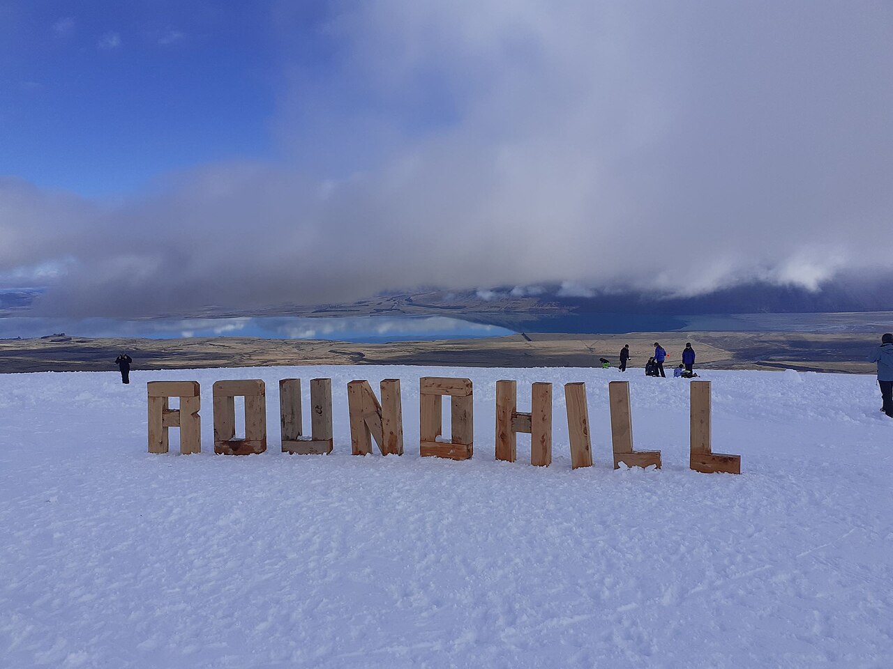
Camera image · refreshes every 60 seconds while visible.
Open camera page ↗