Ski area webcam
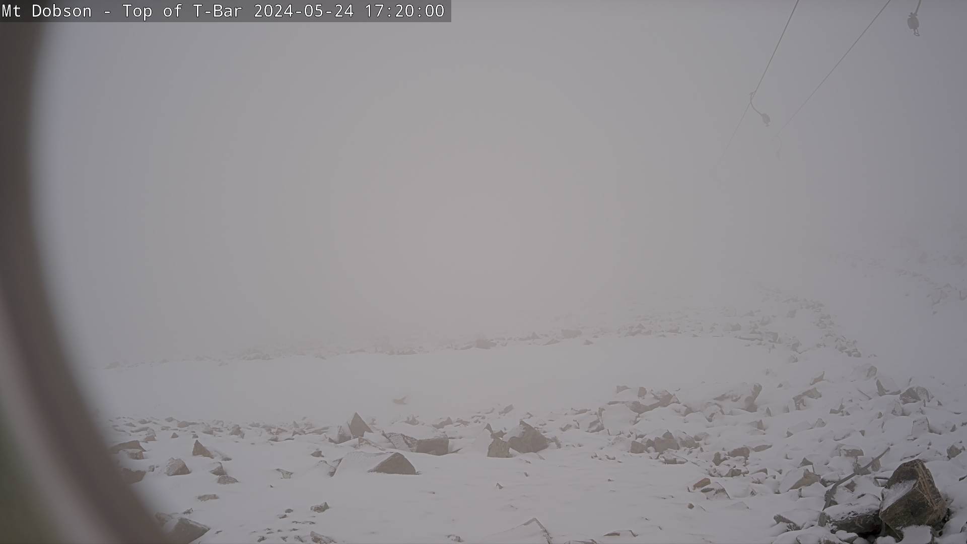
Camera image unavailable
Camera image · refreshes every 60 seconds while visible.
Open camera page ↗
Chaque couleur commence à la valeur indiquée. Les couleurs du vent correspondent dans les trois unités. Les cases sans précipitations restent neutres. Les couleurs décrivent les valeurs affichées et ne sont pas des alertes officielles.
ECMWF · Cycle du modèle : Prochaine mise à jour attendue :
Jour Heure (UTC) Temp. (°C) Humidité (%) Vent (km/h) Vent (nœuds) Vent (Bft) Direction Précip. (mm) Neige fraîche (cm) Pression (hPa) Isotherme 0 °C (m) Conditions | Mercredi, 04/11 06:00 9.5 67 13 7 3B N — — 1015 3079 Partly cloudy 27% cloud  09:00 7.2 74 7 4 2B N 0.03 0 1016 3084 Partly cloudy 23% cloud 12:00 5.9 77 10 5 2B N 0 0 1016 3076 Partly cloudy 31% cloud 15:00 5.6 76 11 6 2B NW 0.01 0 1014 3060 Cloudy 78% cloud  18:00 6 72 11 6 2B NW 0.03 0 1014 3055 Cloudy 60% cloud 21:00 8.7 66 11 6 2B NW 0 0 1014 3031 Overcast 81% cloud  Jeudi, 05/11 00:00 10.8 57 13 7 3B NW 0 0 1012 3053 Cloudy 73% cloud 03:00 10.7 55 13 7 3B N 0.02 0 1010 3045 Overcast 92% cloud 06:00 9.2 67 15 8 3B N 0.07 0 1009 3019 Overcast 99% cloud 09:00 8.1 88 21 11 4B NW 0.33 0 1009 3029 Overcast 100% cloud 12:00 7.9 86 27 14 4B N 0.38 0 1007 3018 Overcast 94% cloud 15:00 7.2 85 29 15 4B NW 0.67 0 1005 3001 Overcast 93% cloud 18:00 7.1 77 35 19 5B NW 0.10 0 1004 2991 Cloudy 60% cloud 21:00 9.7 66 33 18 5B NW 0.03 0 1004 2988 Cloudy 69% cloud Vendredi, 06/11 00:00 10.9 60 33 18 5B NW 0.29 0 1004 2993 Cloudy 60% cloud 03:00 10.9 59 39 21 6B NW 0.16 0 1003 2990 Cloudy 77% cloud 06:00 10 62 36 19 5B NW 0.04 0 1003 2987 Partly cloudy 48% cloud 09:00 7.9 69 34 18 5B NW 0.03 0 1006 3002 Cloudy 70% cloud 12:00 7.1 71 29 16 5B NW 0 0 1006 3006 Partly cloudy 44% cloud 15:00 6.3 75 16 9 3B W 0 0 1007 3010 Partly cloudy 40% cloud 18:00 6.1 77 11 6 2B NW 0 0 1009 3023 Partly cloudy 24% cloud 21:00 7.9 77 7 4 2B NW 0.06 0 1011 3030 Cloudy 74% cloud Samedi, 07/11 00:00 8.3 82 6 3 2B NW 0.50 0 1010 2937 Overcast 97% cloud 03:00 8.3 86 3 2 1B NW 1.4 0 1010 2951 Overcast 97% cloud 06:00 6.9 94 2 1 1B NE 3.2 0 1011 2940 Overcast 91% cloud 09:00 5.3 97 4 2 1B N 0.76 0 1013 2859 Overcast 93% cloud 12:00 5.1 91 6 3 2B N 0.21 0 1012 2913 Overcast 99% cloud 15:00 5.1 91 7 4 2B NW 0 0 1012 2887 Overcast 99% cloud 18:00 5.5 86 6 3 2B NW 0 0 1013 2944 Cloudy 72% cloud 21:00 8 77 3 2 1B W 0 0 1013 2969 Cloudy 73% cloud Dimanche, 08/11 00:00 9.3 75 1 1 0B W 0.50 0 1013 2972 Cloudy 62% cloud 03:00 9.1 81 1 1 0B E 1.6 0 1013 3017 Overcast 90% cloud 06:00 7.4 93 3 2 1B E 1.9 0 1015 2977 Overcast 99% cloud 09:00 5.7 95 6 3 2B E 0.95 0 1019 2938 Overcast 100% cloud 12:00 5.9 97 12 6 2B NE 0.57 0 1020 2963 Overcast 100% cloud 15:00 5.6 95 13 7 3B NE 0.18 0 1020 2934 Overcast 100% cloud 18:00 4.8 97 14 8 3B NE 0.25 0 1021 2907 Overcast 100% cloud 21:00 4.4 95 16 9 3B NE 0.44 0 1022 2945 Overcast 100% cloud Lundi, 09/11 00:00 4.9 94 17 9 3B E 0.92 0 1022 2999 Overcast 100% cloud 03:00 5.3 92 19 10 3B NE 1.1 0 1020 3004 Overcast 100% cloud 06:00 5.3 92 24 13 4B NE 1.1 0 1020 3040 Overcast 99% cloud 09:00 4.9 94 23 12 4B NE 0.79 0 1021 2978 Overcast 95% cloud 12:00 5.2 86 17 9 3B N 0.34 0 1020 3084 Overcast 97% cloud 15:00 4.7 95 20 11 3B N 0.29 0 1018 2965 Overcast 100% cloud 18:00 4.7 95 25 13 4B N 1.1 0 1017 2899 Overcast 93% cloud 21:00 6.4 68 26 14 4B N 0.18 0 1017 3064 Overcast 85% cloud Mardi, 10/11 00:00 8.8 61 23 13 4B N 0.37 0 1014 3057 Cloudy 58% cloud 03:00 9.3 55 25 14 4B N 0.55 0 1012 2981 Partly cloudy 27% cloud 06:00 7.8 57 20 11 4B N 1.0 0 1011 2933 Cloudy 66% cloud |
|---|
Forecast table times: UTC.
Coordinates: -43.936°N, 170.67°E · Requested elevation: 1725 m. Model terrain: 937 m. Terrain and 1000/925/850/700 hPa profiles are used for height estimates.
These are altitude estimates, not a simulation of local mountain terrain. Precipitation, cloud and sea-level pressure use horizontal interpolation only.
Precipitation includes rain and snow water equivalent: preceding 3 hours through day 6, then 6 hours (see cell tooltip). Snow (cm) estimates fresh snowfall from precipitation and temperature using the GFS conversion; it is not snow depth on the ground. Freezing (m) uses additional 600/500 hPa temperatures when available and estimates the lowest resolved 0°C crossing above sea level. When all sampled levels are warm, the upper profile limit is shown (see tooltip). < marks an entirely cold sampled profile and its lower height limit. No extrapolation is used.
Source: ECMWF · CC BY 4.0 · Processed by Snow Report.
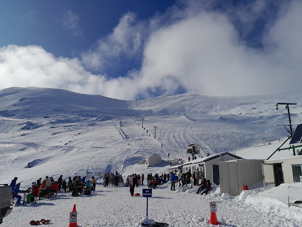
Camera image · refreshes every 60 seconds while visible.
Open camera page ↗