Worldwide Ski Resort Forecasts

Colour guide Temperature · Wind · Rain · Snow
Each colour starts at the value shown. Wind colours match across all three units. Dry cells stay neutral. Colours describe the displayed values, not official weather warnings.
Davos - base
ECMWF · Model run: Next update expected:
Day Time (UTC) Temp. (°C) Humidity (%) Wind (km/h) Wind (knots) Wind (Bft) Direction Precip. (mm) Snow (cm) Pressure (hPa) Freezing (m) Conditions | Wednesday, 04/11 06:00 -0.9 77 6 3 1B SE — — 1022 < 2094 Cloudy 70% cloud  09:00 4.2 60 4 2 1B S 0 0 1022 2236 Partly cloudy 22% cloud  12:00 6 50 7 4 2B S 0 0 1022 2393 Cloudy 69% cloud 15:00 5 54 5 3 1B SE 0 0 1021 2338 Overcast 89% cloud  18:00 1.5 68 4 2 1B SE 0 0 1024 < 2094 Cloudy 67% cloud 21:00 0.4 74 5 3 1B SE 0 0 1026 < 2094 Partly cloudy 27% cloud Thursday, 05/11 00:00 -0.1 77 6 3 1B SE 0 0 1027 < 2094 Partly cloudy 46% cloud 03:00 -0.3 78 7 4 2B SE 0 0 1027 < 2094 Cloudy 60% cloud 06:00 -1 76 7 4 2B SE 0 0 1025 < 2094 Cloudy 69% cloud 09:00 5 58 6 3 2B S 0 0 1025 2586 Clear 16% cloud  12:00 8.9 45 4 2 1B S 0 0 1023 2888 Clear 0% cloud 15:00 7.3 54 3 1 1B S 0 0 1023 2840 Clear 1% cloud 18:00 1.9 68 3 2 1B SE 0 0 1023 < 2094 Clear 1% cloud 21:00 0.2 73 4 2 1B SE 0 0 1023 < 2094 Cloudy 77% cloud Friday, 06/11 00:00 0.1 73 5 2 1B SE 0 0 1022 < 2094 Partly cloudy 35% cloud 03:00 0 72 4 2 1B SE 0 0 1020 < 2094 Partly cloudy 42% cloud 06:00 0.1 71 4 2 1B SE 0 0 1020 < 2094 Partly cloudy 49% cloud 09:00 7.7 50 3 2 1B S 0 0 1019 2935 Overcast 89% cloud 12:00 8.4 49 1 1 0B SW 0 0 1018 2810 Cloudy 55% cloud 15:00 6.1 67 1 1 1B W 0.43 0 1018 2626 Overcast 88% cloud 18:00 3.2 81 1 0 0B NE 0.75 0 1020 2130 Overcast 99% cloud 21:00 2.7 85 0 0 0B NE 0.78 0 1021 < 2094 Overcast 100% cloud Saturday, 07/11 00:00 2.3 85 1 0 0B E 2.5 0 1021 < 2094 Overcast 100% cloud 03:00 1.6 85 1 1 1B N 0.49 0 1021 < 2094 Overcast 100% cloud 06:00 1.6 85 1 0 0B N 1.2 0 1022 < 2094 Overcast 100% cloud 09:00 2.1 81 1 0 0B NE 2.3 0 1023 < 2094 Overcast 100% cloud 12:00 2.9 75 2 1 1B SW 0.84 0 1022 < 2094 Overcast 96% cloud 15:00 1.9 78 1 0 0B SW 1.1 0 1022 < 2094 Overcast 86% cloud 18:00 -1.7 79 2 1 1B SE 0.21 0 1023 < 2094 Cloudy 61% cloud 21:00 -3.4 79 3 1 1B SE 0 0 1024 < 2094 Overcast 91% cloud Sunday, 08/11 00:00 -1.1 79 3 2 1B SE 0.35 0.1 1024 < 2094 Overcast 88% cloud 03:00 -2.4 77 3 2 1B SE 0.09 0 1024 < 2094 Cloudy 74% cloud 06:00 -1.8 80 4 2 1B SE 0.07 0 1024 < 2094 Cloudy 75% cloud 09:00 2 68 3 2 1B S 0 0 1025 < 2094 Partly cloudy 27% cloud 12:00 3.6 56 3 2 1B SW 0 0 1023 2167 Partly cloudy 35% cloud 15:00 1.5 59 1 1 1B S 0 0 1023 < 2094 Clear 14% cloud 18:00 -4.2 73 4 2 1B SE 0 0 1024 < 2094 Clear 8% cloud 21:00 -6.4 75 5 3 1B SE 0 0 1024 < 2094 Cloudy 55% cloud Monday, 09/11 00:00 -3.6 69 6 3 1B SE 0 0 1023 < 2094 Overcast 99% cloud 03:00 -3.9 70 6 3 2B SE 0.03 0 1022 < 2094 Overcast 91% cloud 06:00 -3 72 6 3 2B SE 0 0 1021 < 2094 Overcast 86% cloud 09:00 3.1 61 5 3 1B SE 0 0 1021 2128 Overcast 91% cloud 12:00 6.1 55 4 2 1B S 0 0 1019 2679 Overcast 81% cloud 15:00 4.5 65 4 2 1B S 0 0 1019 2461 Overcast 96% cloud 18:00 2.6 76 6 3 2B SE 0 0 1019 < 2094 Overcast 98% cloud 21:00 2.9 78 7 4 2B SE 0.12 0 1019 < 2094 Overcast 95% cloud Tuesday, 10/11 00:00 2.9 78 6 3 2B S 0.05 0 1018 < 2094 Overcast 98% cloud 03:00 3 78 6 3 1B SE 0 0 1016 < 2094 Overcast 97% cloud 06:00 2.5 80 7 4 2B SE 0 0 1015 < 2094 Overcast 100% cloud |
|---|
Forecast notes
Forecast table times: UTC.
Coordinates: 46.79148052°N, 9.82194901°E · Requested elevation: 1538 m. Model terrain: 2092 m. Terrain and 1000/925/850/700 hPa profiles are used for height estimates.
Outside the available profile, temperature uses an estimated 5.5°C/km height correction; wind retains the nearest available model-level value. Humidity is estimated with adjusted pressure and temperature.
These are altitude estimates, not a simulation of local mountain terrain. Precipitation, cloud and sea-level pressure use horizontal interpolation only.
Precipitation includes rain and snow water equivalent: preceding 3 hours through day 6, then 6 hours (see cell tooltip). Snow (cm) estimates fresh snowfall from precipitation and temperature using the GFS conversion; it is not snow depth on the ground. Freezing (m) uses additional 600/500 hPa temperatures when available and estimates the lowest resolved 0°C crossing above sea level. When all sampled levels are warm, the upper profile limit is shown (see tooltip). < marks an entirely cold sampled profile and its lower height limit. No extrapolation is used.
Source: ECMWF · CC BY 4.0 · Processed by Snow Report.
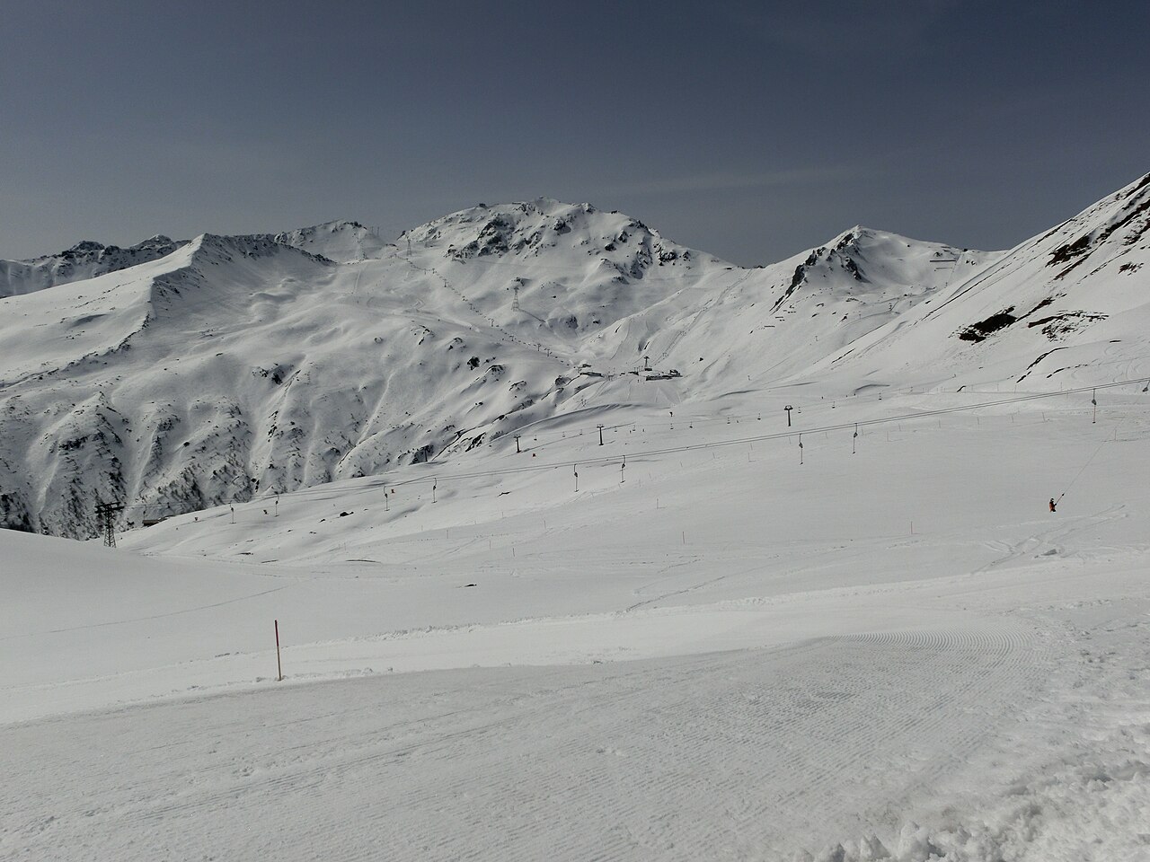
Davos is a base for several mountain areas in the wider Davos Klosters destination, not one continuous set of pistes surrounding a single lift. The official maps distinguish Parsenn/Gotschna, Jakobshorn, Rinerhorn, Madrisa, Pischa and Schatzalp/Strela. Decide which mountain you intend to visit before using a town forecast to plan the whole day.
The areas have different identities: Parsenn is associated with broad alpine pistes, Jakobshorn with freestyle, while Madrisa and Rinerhorn include family-oriented skiing. Pischa's emphasis is on freeriding and touring. These are reasons to study the relevant piste map, rather than assume that all six areas offer the same terrain or are suitable for the same group.
The default forecast point on this page is at 1,538 m in the Davos setting. It is a useful lower reference, but it cannot stand for the temperature or wind on every mountain above the town. Pick the actual sector on the map and select its elevation, then compare the forecast for your skiing hours with the lower-level conditions for the return.
Keep the mountain names in mind when reading opening notices: an operating lift in one sector does not establish access to another. Compare model forecasts over the same time period and use current resort reports for transport, pistes and lift status. A fresh-snow total is not a statement about the safety of ungroomed terrain.
Official sources: Davos Klosters — piste maps · Davos Klosters — destination guide. Reviewed 18 October 2026.