Banderishka Polyana · 1,620 m
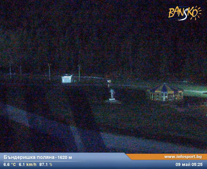
Camera image unavailable
Camera image · refreshes every 60 seconds while visible.
Open camera page ↗
Each colour starts at the value shown. Wind colours match across all three units. Dry cells stay neutral. Colours describe the displayed values, not official weather warnings.
Preparing forecast graphs…
Times and values match the detailed forecast. Tap or point at a value for details. Scroll each chart sideways for later days. Rain / precipitation is the total water equivalent per forecast interval, including snow; snowfall is fresh snow per interval, not snow depth.
GFS and ECMWF model comparison. Each model retains its own forecast times and horizon. Precipitation and snowfall amounts cover their own forecast intervals; these can differ between models.
ECMWF · Model run: Next update expected:
Day Time (UTC) Temp. (°C) Humidity (%) Wind (km/h) Wind (knots) Wind (Bft) Direction Precip. (mm) Snow (cm) Pressure (hPa) Freezing (m) Conditions | Friday, 30/10 06:00 8.5 76 1 0 0B N — — 1020 2528 Overcast 87% cloud  09:00 10.3 74 3 1 1B E 0.55 0 1020 2599 Overcast 94% cloud 12:00 10.1 75 1 1 1B SE 1.8 0 1020 2601 Overcast 99% cloud 15:00 8.9 83 0 0 0B E 2.0 0 1020 2535 Overcast 98% cloud 18:00 8.2 83 1 0 0B SW 0.76 0 1021 2455 Overcast 99% cloud 21:00 7.9 84 0 0 0B — 0.96 0 1021 2412 Overcast 97% cloud Saturday, 31/10 00:00 7.7 84 1 1 1B SW 0.97 0 1021 2375 Overcast 96% cloud 03:00 7.7 84 1 0 0B W 0.42 0 1021 2352 Overcast 95% cloud 06:00 7.8 83 1 0 0B SW 0.15 0 1021 2355 Overcast 98% cloud 09:00 8 82 2 1 1B SW 2.7 0 1021 2364 Overcast 100% cloud 12:00 8 83 1 1 1B SW 2.7 0 1020 2370 Overcast 97% cloud 15:00 7.6 83 0 0 0B — 1.2 0 1020 2330 Overcast 99% cloud 18:00 6.7 83 0 0 0B — 0.09 0 1020 2224 Overcast 100% cloud 21:00 6.5 82 1 1 0B E 0.45 0 1020 2206 Overcast 100% cloud Sunday, 01/11 00:00 6.5 83 2 1 1B E 1.4 0 1020 2208 Overcast 100% cloud 03:00 6.4 84 4 2 1B E 1.5 0 1019 2196 Overcast 100% cloud 06:00 6.3 84 4 2 1B E 2.5 0 1019 2173 Overcast 100% cloud 09:00 6.6 83 5 3 1B E 3.2 0 1019 2285 Overcast 100% cloud 12:00 6.7 84 3 2 1B E 5.7 0 1019 2312 Overcast 100% cloud 15:00 6.3 84 2 1 1B NE 6.6 0 1018 2296 Overcast 100% cloud 18:00 6.1 83 1 1 1B NE 5.5 0 1018 2279 Overcast 100% cloud 21:00 6.4 83 1 1 1B N 4.9 0 1018 2319 Overcast 100% cloud Monday, 02/11 00:00 6.4 82 1 1 1B N 5.5 0 1017 2313 Overcast 100% cloud 03:00 6.7 81 1 1 1B N 1.9 0 1016 2320 Overcast 96% cloud 06:00 7.3 82 2 1 1B NE 0.15 0 1016 2401 Overcast 85% cloud 09:00 9.3 75 3 2 1B E 0.31 0 1017 2562 Cloudy 67% cloud  12:00 11.2 62 4 2 1B SE 0.36 0 1014 2638 Cloudy 73% cloud 15:00 8.5 76 4 2 1B E 0.39 0 1014 2540 Overcast 85% cloud 18:00 7.4 81 2 1 1B E 0.11 0 1016 2450 Cloudy 75% cloud 21:00 6.9 80 2 1 1B NE 0 0 1016 2421 Overcast 97% cloud Tuesday, 03/11 00:00 6.9 81 4 2 1B NE 0 0 1014 2443 Overcast 100% cloud 03:00 7.4 83 4 2 1B NE 0.52 0 1013 2516 Overcast 100% cloud 06:00 7.8 83 4 2 1B E 3.5 0 1012 2521 Overcast 100% cloud 09:00 7.7 85 3 2 1B E 9.0 0 1013 2502 Overcast 100% cloud 12:00 7 83 2 1 1B N 11.1 0 1012 2447 Overcast 100% cloud 15:00 7.4 84 2 1 1B NE 2.9 0 1011 2452 Overcast 98% cloud 18:00 7.3 83 1 1 0B N 0.69 0 1012 2445 Overcast 97% cloud 21:00 7 81 1 1 1B NW 0.56 0 1013 2371 Overcast 98% cloud Wednesday, 04/11 00:00 6.7 81 2 1 1B NW 0.68 0 1014 2342 Overcast 83% cloud 03:00 5.9 83 3 1 1B NW 0.24 0 1015 2225 Overcast 100% cloud 06:00 6.3 83 2 1 1B N 0.07 0 1016 2299 Overcast 89% cloud 09:00 8.6 76 2 1 1B NE 0.08 0 1018 2493 Overcast 99% cloud 12:00 9.2 72 0 0 0B W 0.15 0 1018 2526 Overcast 91% cloud 15:00 7.8 78 0 0 0B E 0.31 0 1020 2417 Overcast 89% cloud 18:00 6.8 81 1 0 0B NE 0 0 1022 2266 Overcast 89% cloud 21:00 6.5 81 0 0 0B SW 0.15 0 1024 2190 Overcast 93% cloud Thursday, 05/11 00:00 6.1 81 1 1 1B SW 0 0 1024 2113 Overcast 89% cloud 03:00 5.5 80 1 1 1B W 0.07 0 1025 1999 Overcast 96% cloud 06:00 5 81 0 0 0B SW 0.15 0 1026 1910 Overcast 98% cloud |
|---|
Forecast table times: UTC.
Coordinates: 41.82685121°N, 23.47709656°E · Requested elevation: 993 m. Model terrain: 1617 m. Terrain and 1000/925/850/700 hPa profiles are used for height estimates.
Outside the available profile, temperature uses an estimated 5.5°C/km height correction; wind retains the nearest available model-level value. Humidity is estimated with adjusted pressure and temperature.
These are altitude estimates, not a simulation of local mountain terrain. Precipitation, cloud and sea-level pressure use horizontal interpolation only.
Precipitation includes rain and snow water equivalent: preceding 3 hours through day 6, then 6 hours (see cell tooltip). Snow (cm) estimates fresh snowfall from precipitation and temperature using the GFS conversion; it is not snow depth on the ground. Freezing (m) uses additional 600/500 hPa temperatures when available and estimates the lowest resolved 0°C crossing above sea level. When all sampled levels are warm, the upper profile limit is shown (see tooltip). < marks an entirely cold sampled profile and its lower height limit. No extrapolation is used.
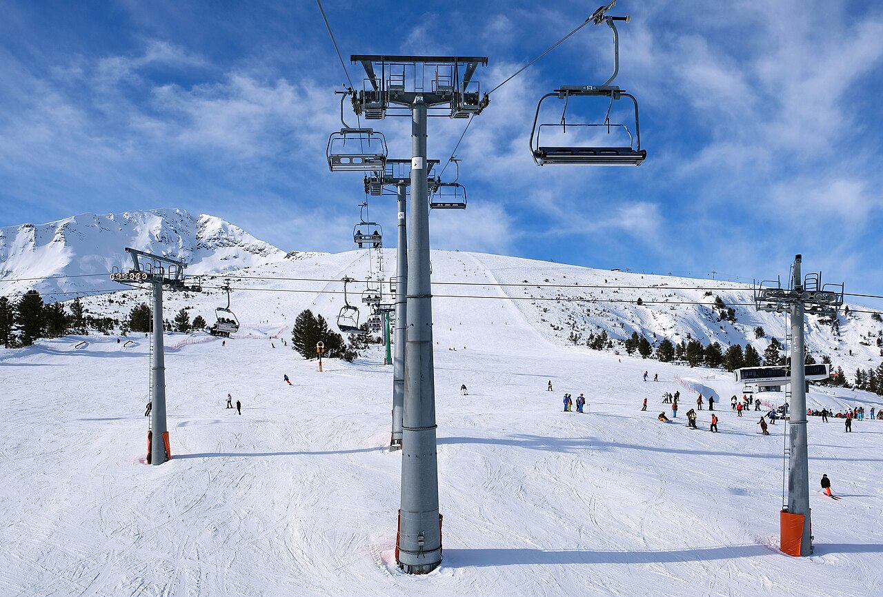
Camera image · refreshes every 60 seconds while visible.
Open camera page ↗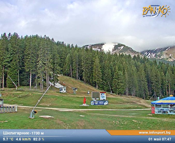
Camera image · refreshes every 60 seconds while visible.
Open camera page ↗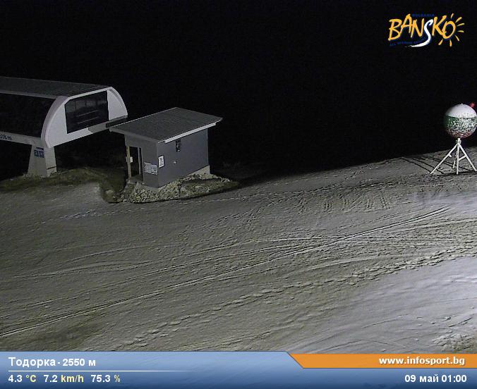
Camera image · refreshes every 60 seconds while visible.
Open camera page ↗Preparing forecast graphs…
Times and values match the detailed forecast. Tap or point at a value for details. Scroll each chart sideways for later days. Rain / precipitation is the total water equivalent per forecast interval, including snow; snowfall is fresh snow per interval, not snow depth.
GFS and ECMWF model comparison. Each model retains its own forecast times and horizon. Precipitation and snowfall amounts cover their own forecast intervals; these can differ between models.
ECMWF · Model run: Next update expected:
Day Time (UTC) Temp. (°C) Humidity (%) Wind (km/h) Wind (knots) Wind (Bft) Direction Precip. (mm) Snow (cm) Pressure (hPa) Freezing (m) Conditions | Friday, 30/10 06:00 4.9 91 1 1 1B N — — 1020 2510 Overcast 93% cloud 09:00 6.5 89 1 1 1B E 0.61 0 1020 2581 Overcast 97% cloud 12:00 6.6 91 1 0 0B E 2.0 0 1020 2589 Overcast 98% cloud 15:00 5.5 98 1 0 0B NE 2.2 0 1020 2537 Overcast 96% cloud 18:00 4.8 98 0 0 0B SW 0.99 0 1021 2454 Overcast 100% cloud 21:00 4.5 99 0 0 0B SW 0.95 0 1021 2407 Overcast 98% cloud Saturday, 31/10 00:00 4.3 99 1 1 1B SW 1.1 0 1021 2369 Overcast 98% cloud 03:00 4.3 98 1 0 0B SW 0.47 0 1021 2349 Overcast 97% cloud 06:00 4.4 98 1 0 0B SW 0.18 0 1021 2348 Overcast 99% cloud 09:00 4.7 97 1 1 1B SW 3.1 0 1021 2367 Overcast 100% cloud 12:00 4.8 96 1 1 1B SW 2.5 0 1020 2386 Overcast 95% cloud 15:00 4.4 97 0 0 0B W 1.0 0 1020 2339 Overcast 98% cloud 18:00 3.4 97 0 0 0B SW 0.04 0 1020 2232 Overcast 100% cloud 21:00 3.2 96 1 1 0B SE 0.47 0 1020 2213 Overcast 100% cloud Sunday, 01/11 00:00 3.2 97 2 1 1B E 1.5 0 1020 2215 Overcast 100% cloud 03:00 3.1 99 3 2 1B E 1.7 0 1019 2202 Overcast 100% cloud 06:00 2.9 98 3 2 1B E 2.8 0 1019 2169 Overcast 100% cloud 09:00 3.3 98 3 2 1B E 3.5 0 1019 2297 Overcast 100% cloud 12:00 3.5 98 2 1 1B E 6.1 0 1018 2333 Overcast 100% cloud 15:00 3 99 1 1 1B NE 7.1 0 1018 2305 Overcast 99% cloud 18:00 2.6 98 1 1 1B NE 6.2 0 1018 2267 Overcast 100% cloud 21:00 2.9 97 1 1 1B N 5.7 0 1018 2300 Overcast 100% cloud Monday, 02/11 00:00 2.8 98 2 1 1B N 6.3 0 1017 2284 Overcast 100% cloud 03:00 3.2 95 1 0 0B N 2.0 0 1016 2310 Overcast 94% cloud 06:00 3.8 97 1 1 1B NE 0.16 0 1016 2391 Overcast 86% cloud 09:00 5.9 89 2 1 1B E 0.32 0 1017 2564 Cloudy 70% cloud 12:00 7.6 75 3 2 1B SE 0.48 0 1014 2630 Cloudy 77% cloud 15:00 5.2 92 3 2 1B E 0.59 0 1015 2546 Cloudy 80% cloud 18:00 4.2 96 2 1 1B E 0.13 0 1016 2467 Overcast 86% cloud 21:00 3.5 94 1 1 1B NE 0 0 1016 2423 Overcast 98% cloud Tuesday, 03/11 00:00 3.6 95 2 1 1B NE 0 0 1014 2450 Overcast 100% cloud 03:00 3.9 98 3 2 1B NE 1.0 0 1013 2507 Overcast 100% cloud 06:00 4.3 98 3 1 1B E 4.3 0 1012 2507 Overcast 100% cloud 09:00 4.2 100 2 1 1B NE 10.4 0 1013 2496 Overcast 100% cloud 12:00 3.5 99 3 1 1B N 11.7 0 1012 2445 Overcast 100% cloud 15:00 4 99 2 1 1B N 3.4 0 1011 2451 Overcast 95% cloud 18:00 3.8 99 1 1 1B N 1.0 0 1012 2425 Overcast 98% cloud 21:00 3.5 96 2 1 1B NW 0.76 0 1013 2350 Overcast 99% cloud Wednesday, 04/11 00:00 3.3 97 3 2 1B N 1.2 0 1014 2321 Overcast 84% cloud 03:00 2.4 98 4 2 1B N 0.24 0 1015 2192 Overcast 100% cloud 06:00 2.7 97 3 2 1B N 0.02 0 1017 2272 Overcast 90% cloud 09:00 5.1 89 3 2 1B N 0.03 0 1018 2482 Overcast 100% cloud 12:00 5.6 85 2 1 1B N 0.16 0 1018 2510 Overcast 89% cloud 15:00 4.4 92 2 1 1B N 0.32 0 1020 2406 Overcast 89% cloud 18:00 3.4 95 2 1 1B N 0 0 1022 2259 Overcast 87% cloud 21:00 3 96 1 0 0B N 0.16 0 1024 2170 Overcast 90% cloud Thursday, 05/11 00:00 2.5 95 1 0 0B W 0 0 1024 2090 Overcast 90% cloud 03:00 2 94 1 1 1B NW 0.02 0 1025 1970 Overcast 97% cloud 06:00 1.5 95 1 1 1B N 0.16 0 1026 1887 Overcast 98% cloud |
|---|
Forecast table times: UTC.
Coordinates: 41.7819115°N, 23.44018936°E · Requested elevation: 1600 m. Model terrain: 1593 m. Terrain and 1000/925/850/700 hPa profiles are used for height estimates.
These are altitude estimates, not a simulation of local mountain terrain. Precipitation, cloud and sea-level pressure use horizontal interpolation only.
Precipitation includes rain and snow water equivalent: preceding 3 hours through day 6, then 6 hours (see cell tooltip). Snow (cm) estimates fresh snowfall from precipitation and temperature using the GFS conversion; it is not snow depth on the ground. Freezing (m) uses additional 600/500 hPa temperatures when available and estimates the lowest resolved 0°C crossing above sea level. When all sampled levels are warm, the upper profile limit is shown (see tooltip). < marks an entirely cold sampled profile and its lower height limit. No extrapolation is used.
Preparing forecast graphs…
Times and values match the detailed forecast. Tap or point at a value for details. Scroll each chart sideways for later days. Rain / precipitation is the total water equivalent per forecast interval, including snow; snowfall is fresh snow per interval, not snow depth.
GFS and ECMWF model comparison. Each model retains its own forecast times and horizon. Precipitation and snowfall amounts cover their own forecast intervals; these can differ between models.
ECMWF · Model run: Next update expected:
Day Time (UTC) Temp. (°C) Humidity (%) Wind (km/h) Wind (knots) Wind (Bft) Direction Precip. (mm) Snow (cm) Pressure (hPa) Freezing (m) Conditions | Friday, 30/10 06:00 -0.1 90 1 1 1B NW — — 1020 2505 Overcast 95% cloud 09:00 0.3 95 2 1 1B S 0.66 0.2 1020 2576 Overcast 98% cloud 12:00 0.4 96 3 1 1B S 2.2 0.7 1020 2586 Overcast 98% cloud 15:00 0.1 98 3 2 1B SE 2.3 0.7 1020 2539 Overcast 95% cloud 18:00 -0.4 99 6 3 2B S 1.1 0.3 1021 2458 Overcast 100% cloud 21:00 -0.7 99 8 4 2B S 0.93 0.3 1021 2407 Overcast 99% cloud Saturday, 31/10 00:00 -0.9 100 6 3 2B SW 1.2 0.3 1021 2370 Overcast 99% cloud 03:00 -1 98 6 3 2B SW 0.50 0.2 1021 2351 Overcast 98% cloud 06:00 -1 98 5 3 1B SW 0.19 0 1021 2350 Overcast 99% cloud 09:00 -0.9 99 6 4 2B SW 3.3 1.3 1021 2372 Overcast 100% cloud 12:00 -0.8 97 12 6 2B SW 2.5 0.7 1020 2393 Overcast 94% cloud 15:00 -1.1 95 10 6 2B SW 0.98 0.3 1020 2344 Overcast 98% cloud 18:00 -1.5 95 9 5 2B SW 0.01 0 1020 2235 Overcast 100% cloud 21:00 -1.6 96 10 5 2B S 0.48 0.1 1020 2213 Overcast 100% cloud Sunday, 01/11 00:00 -1.6 98 15 8 3B S 1.6 0.5 1020 2216 Overcast 100% cloud 03:00 -1.6 99 19 10 3B SE 1.8 0.5 1019 2203 Overcast 100% cloud 06:00 -1.8 98 20 11 4B SE 2.9 0.9 1019 2166 Overcast 100% cloud 09:00 -1.1 98 31 16 5B SE 3.6 1.5 1019 2298 Overcast 100% cloud 12:00 -0.9 98 29 16 5B S 6.4 2.6 1018 2334 Overcast 100% cloud 15:00 -0.9 99 26 14 4B S 7.5 3 1018 2297 Overcast 99% cloud 18:00 -1 98 21 12 4B SE 6.6 2.6 1018 2250 Overcast 100% cloud 21:00 -1 98 23 12 4B SE 6.1 2.4 1018 2283 Overcast 100% cloud Monday, 02/11 00:00 -1.1 99 22 12 4B S 6.7 2.7 1017 2264 Overcast 100% cloud 03:00 -1 93 12 7 3B S 2.1 0.6 1016 2304 Overcast 94% cloud 06:00 -0.7 86 13 7 3B S 0.18 0 1016 2386 Overcast 87% cloud 09:00 0.2 84 16 9 3B S 0.35 0.1 1017 2564 Cloudy 72% cloud 12:00 0.8 83 14 7 3B S 0.54 0.2 1014 2627 Cloudy 79% cloud 15:00 0.1 87 15 8 3B SE 0.66 0.2 1015 2546 Cloudy 79% cloud 18:00 -0.3 90 18 10 3B SE 0.13 0 1016 2471 Overcast 91% cloud 21:00 -0.4 89 22 12 4B SE 0 0 1015 2423 Overcast 98% cloud Tuesday, 03/11 00:00 -0.3 96 29 16 5B SE 0 0 1014 2450 Overcast 100% cloud 03:00 -0.1 97 33 18 5B SE 1.2 0.4 1013 2500 Overcast 100% cloud 06:00 -0.1 99 34 19 5B SE 4.6 1.9 1012 2500 Overcast 100% cloud 09:00 -0.2 99 31 17 5B SE 11.1 5.5 1013 2489 Overcast 100% cloud 12:00 -0.4 98 21 11 4B SE 12.1 6.1 1012 2432 Overcast 100% cloud 15:00 -0.4 94 14 8 3B S 3.6 1.4 1011 2446 Overcast 95% cloud 18:00 -0.5 96 10 5 2B SE 1.1 0.3 1012 2416 Overcast 99% cloud 21:00 -0.8 97 6 3 2B SE 0.84 0.3 1013 2344 Overcast 100% cloud Wednesday, 04/11 00:00 -0.9 95 3 2 1B NE 1.3 0.4 1014 2316 Overcast 84% cloud 03:00 -1.3 93 7 4 2B N 0.24 0 1015 2179 Overcast 100% cloud 06:00 -1 90 6 3 1B N 0.01 0 1017 2263 Overcast 90% cloud 09:00 -0.2 89 4 2 1B N 0.01 0 1018 2480 Overcast 100% cloud 12:00 -0.1 88 4 2 1B W 0.18 0 1018 2506 Overcast 88% cloud 15:00 -0.6 91 3 2 1B W 0.35 0.1 1020 2406 Overcast 90% cloud 18:00 -1.3 94 4 2 1B SW 0 0 1022 2263 Overcast 86% cloud 21:00 -1.9 93 5 3 1B SW 0.18 0 1024 2171 Overcast 89% cloud Thursday, 05/11 00:00 -2.2 92 5 3 1B SW 0 0 1024 2092 Overcast 91% cloud 03:00 -2.9 94 4 2 1B W 0.01 0 1025 1971 Overcast 97% cloud 06:00 -3.5 96 2 1 1B W 0.18 0.2 1026 1884 Overcast 98% cloud |
|---|
Forecast table times: UTC.
Coordinates: 41.75773941°N, 23.43495369°E · Requested elevation: 2521 m. Model terrain: 1609 m. Terrain and 1000/925/850/700 hPa profiles are used for height estimates.
These are altitude estimates, not a simulation of local mountain terrain. Precipitation, cloud and sea-level pressure use horizontal interpolation only.
Precipitation includes rain and snow water equivalent: preceding 3 hours through day 6, then 6 hours (see cell tooltip). Snow (cm) estimates fresh snowfall from precipitation and temperature using the GFS conversion; it is not snow depth on the ground. Freezing (m) uses additional 600/500 hPa temperatures when available and estimates the lowest resolved 0°C crossing above sea level. When all sampled levels are warm, the upper profile limit is shown (see tooltip). < marks an entirely cold sampled profile and its lower height limit. No extrapolation is used.