Snow Farm webcam image - check capture timestamp
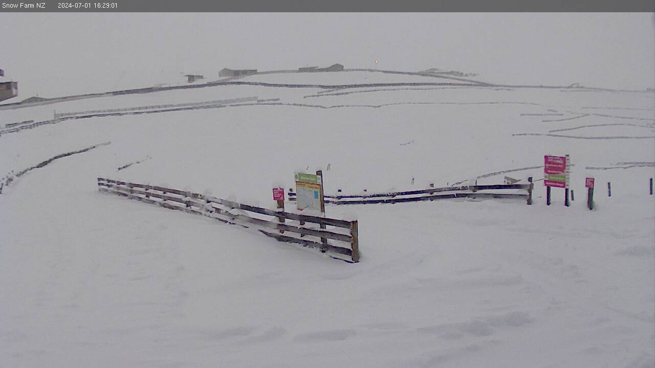
Camera image unavailable
Camera image · refreshes every 60 seconds while visible.
Open camera page ↗
Cada color comienza en el valor indicado. Los colores del viento coinciden en las tres unidades. Las celdas sin precipitación permanecen neutras. Los colores describen los valores mostrados, no son avisos meteorológicos oficiales.
Preparando gráficos de previsión…
Las horas y los valores coinciden con la previsión detallada. Toca un valor para ver detalles y desplaza los gráficos horizontalmente para los próximos días. La precipitación es el equivalente total en agua por intervalo, incluida la nieve; la nieve nueva corresponde a cada intervalo, no al espesor de nieve en el suelo.
Comparación de GFS y ECMWF. Cada modelo conserva sus propias horas y horizonte de previsión. Las cantidades de precipitación y nieve corresponden a sus propios intervalos, que pueden diferir entre modelos.
ECMWF · Ejecución del modelo: Próxima actualización prevista:
Día Hora local Temp. (°C) Humedad (%) Viento (km/h) Viento (nudos) Viento (Bft) Dirección Precip. (mm) Nieve nueva (cm) Presión (hPa) Isoterma de 0 °C (m) Condiciones | Jueves, 05/11 01:00 7.6 89 25 13 4B N 0.04 0 1015 2990 Cloudy 71% cloud  04:00 7.1 92 25 14 4B N 0.04 0 1014 3049 Overcast 82% cloud  07:00 6.7 92 21 11 4B N 0 0 1013 3042 Overcast 92% cloud 10:00 6.9 90 20 11 3B N 0.17 0 1013 3045 Cloudy 77% cloud 13:00 8.6 75 19 10 3B N 0.18 0 1011 3041 Overcast 94% cloud 16:00 9.9 59 19 11 3B N 0.04 0 1009 2923 Overcast 95% cloud 19:00 8.9 71 25 13 4B N 0 0 1009 2766 Overcast 99% cloud 22:00 7.8 78 27 15 4B N 0.41 0 1009 2956 Overcast 100% cloud Viernes, 06/11 01:00 7.7 82 25 14 4B NE 0.18 0 1007 3001 Overcast 96% cloud 04:00 7.5 88 28 15 4B N 0.41 0 1004 2980 Overcast 94% cloud 07:00 7.8 92 38 20 5B N 0.27 0 1003 2971 Cloudy 76% cloud 10:00 7.7 85 37 20 5B N 0.16 0 1003 2967 Partly cloudy 47% cloud  13:00 8.8 79 38 20 5B NW 0.42 0 1003 2973 Overcast 86% cloud 16:00 9.4 72 42 23 6B N 0.12 0 1002 2969 Cloudy 75% cloud 19:00 8.5 82 31 17 5B NW 0.12 0 1002 2918 Cloudy 80% cloud 22:00 7.8 82 29 16 5B NW 0.12 0 1005 2987 Partly cloudy 48% cloud Sábado, 07/11 01:00 7.6 86 20 11 4B NW 0.04 0 1006 2961 Cloudy 65% cloud 04:00 7 87 16 9 3B NW 0 0 1007 2994 Overcast 86% cloud 07:00 6.5 89 17 9 3B NW 0.06 0 1009 3003 Cloudy 75% cloud 10:00 6.5 86 14 8 3B NW 0.06 0 1010 3018 Partly cloudy 35% cloud 13:00 8.6 70 12 6 2B NW 0.05 0 1009 2980 Partly cloudy 48% cloud 16:00 10.1 60 8 4 2B NW 0.11 0 1008 2863 Partly cloudy 26% cloud 19:00 10.1 57 4 2 1B N 0.35 0 1008 2872 Partly cloudy 30% cloud 22:00 8.6 75 8 4 2B NE 0.12 0 1010 2765 Cloudy 65% cloud Domingo, 08/11 01:00 7.6 87 12 6 2B N 0 0 1011 2927 Cloudy 65% cloud 04:00 6.9 90 11 6 2B N 0 0 1011 2972 Overcast 100% cloud 07:00 6.7 90 9 5 2B N 0 0 1012 2966 Overcast 100% cloud 10:00 6.8 86 5 3 1B N 0.04 0 1013 2922 Overcast 97% cloud 13:00 8.9 73 3 2 1B NW 0.19 0 1013 2917 Partly cloudy 43% cloud 16:00 10.1 71 1 1 1B E 0.29 0 1012 2943 Overcast 81% cloud 19:00 9.5 76 9 5 2B E 0.64 0 1014 2896 Cloudy 76% cloud 22:00 8.2 91 12 6 2B E 0.53 0 1017 2870 Overcast 89% cloud Lunes, 09/11 01:00 7.5 96 11 6 2B E 0.28 0 1018 2906 Overcast 99% cloud 04:00 6.9 97 13 7 3B NE 0 0 1018 2938 Overcast 95% cloud 07:00 6.2 98 12 6 2B NE 0.10 0 1019 2965 Overcast 100% cloud 10:00 6.1 98 11 6 2B NE 0.12 0 1020 2905 Overcast 97% cloud 13:00 6.5 98 13 7 3B E 0.12 0 1020 2914 Overcast 100% cloud 16:00 7 94 15 8 3B NE 0.29 0 1018 2976 Overcast 100% cloud 19:00 7 94 17 9 3B NE 0.33 0 1017 2938 Overcast 92% cloud 22:00 6 95 21 12 4B NE 0.06 0 1019 2865 Cloudy 67% cloud Martes, 10/11 01:00 5.3 98 22 12 4B NE 0 0 1018 2835 Overcast 80% cloud 04:00 5.2 96 19 10 3B NE 0.08 0 1017 2983 Overcast 80% cloud 07:00 5.4 91 18 10 3B NE 0.67 0 1016 2778 Cloudy 77% cloud 10:00 5.6 94 20 11 4B N 0.08 0 1016 2739 Cloudy 73% cloud 13:00 7.7 70 22 12 4B N 0.16 0 1013 2805 Clear 17% cloud  16:00 9.3 56 21 12 4B N 0.02 0 1011 2788 Partly cloudy 21% cloud 19:00 8.8 55 17 9 3B N 0 0 1010 2712 Clear 7% cloud |
|---|
Forecast table times: Pacific/Auckland.
Coordinates: -44.8777125°N, 169.0923201°E · Requested elevation: 1518 m. Model terrain: 816 m. Terrain and 1000/925/850/700 hPa profiles are used for height estimates.
These are altitude estimates, not a simulation of local mountain terrain. Precipitation, cloud and sea-level pressure use horizontal interpolation only.
Precipitation includes rain and snow water equivalent: preceding 3 hours through day 6, then 6 hours (see cell tooltip). Snow (cm) estimates fresh snowfall from precipitation and temperature using the GFS conversion; it is not snow depth on the ground. Freezing (m) uses additional 600/500 hPa temperatures when available and estimates the lowest resolved 0°C crossing above sea level. When all sampled levels are warm, the upper profile limit is shown (see tooltip). < marks an entirely cold sampled profile and its lower height limit. No extrapolation is used.
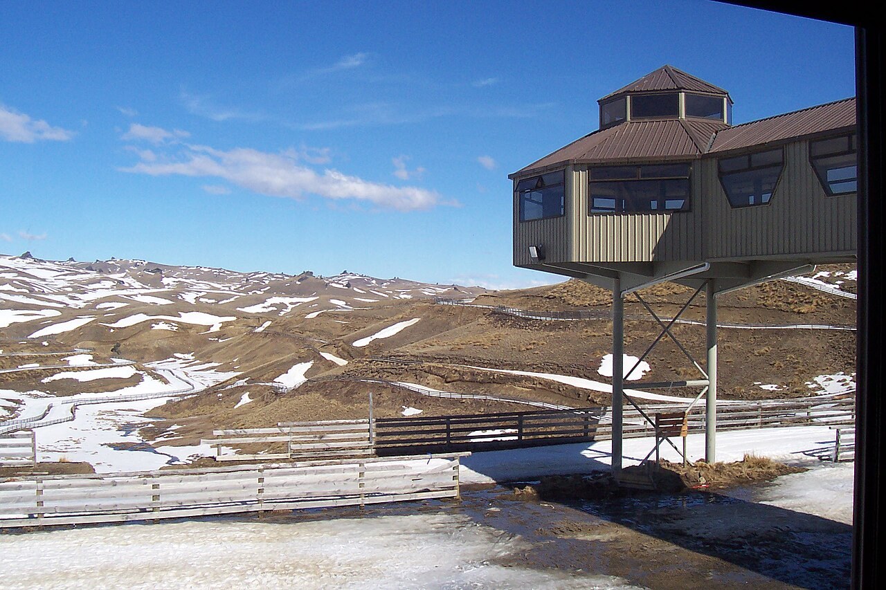
Camera image · refreshes every 60 seconds while visible.
Open camera page ↗