Camera 1
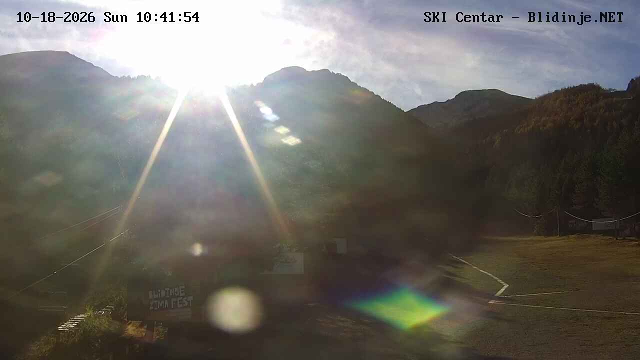
Provider panorama/video player. Capture time is shown by the camera.
Open camera page ↗
Chaque couleur commence à la valeur indiquée. Les couleurs du vent correspondent dans les trois unités. Les cases sans précipitations restent neutres. Les couleurs décrivent les valeurs affichées et ne sont pas des alertes officielles.
Préparation des graphiques…
Les heures et valeurs correspondent aux prévisions détaillées. Touchez une valeur pour plus de détails et faites défiler horizontalement pour les jours suivants. Les précipitations représentent l’équivalent en eau total par intervalle, neige comprise. La neige fraîche correspond à chaque intervalle, et non à l’épaisseur au sol.
Comparaison GFS et ECMWF. Chaque modèle conserve ses heures et son horizon de prévision. Les quantités de précipitations et de neige couvrent leurs propres intervalles, qui peuvent différer entre modèles.
ECMWF · Cycle du modèle : Prochaine mise à jour attendue :
Jour Heure (UTC) Temp. (°C) Humidité (%) Vent (km/h) Vent (nœuds) Vent (Bft) Direction Précip. (mm) Neige fraîche (cm) Pression (hPa) Isotherme 0 °C (m) Conditions | Mercredi, 04/11 06:00 1.6 89 15 8 3B NE — — 1024 1805 Overcast 87% cloud  09:00 2.3 87 14 8 3B NE 0.03 0 1025 1904 Overcast 83% cloud 12:00 3.1 85 10 6 2B NE 0.03 0 1025 2028 Overcast 90% cloud 15:00 2.6 87 10 5 2B NE 0 0 1025 1991 Cloudy 79% cloud  18:00 2 88 12 7 3B NE 0.01 0 1027 1988 Overcast 81% cloud 21:00 1.8 89 11 6 2B NE 0 0 1028 2003 Overcast 88% cloud Jeudi, 05/11 00:00 1.8 89 11 6 2B NE 0 0 1029 2051 Overcast 91% cloud 03:00 1.7 89 11 6 2B NE 0.05 0 1029 2049 Overcast 92% cloud 06:00 2 88 11 6 2B NE 0 0 1029 2169 Overcast 90% cloud 09:00 3 84 9 5 2B NE 0 0 1029 2314 Cloudy 74% cloud 12:00 4.6 79 7 4 2B NE 0 0 1027 2562 Partly cloudy 35% cloud  15:00 4 81 7 4 2B NE 0 0 1027 2649 Clear 19% cloud  18:00 2.7 80 7 4 2B NE 0 0 1027 2652 Clear 10% cloud 21:00 2.6 74 5 3 1B NE 0 0 1027 2799 Partly cloudy 40% cloud Vendredi, 06/11 00:00 2.9 66 1 0 0B N 0 0 1027 2894 Partly cloudy 48% cloud 03:00 3.3 59 3 1 1B NW 0 0 1025 2982 Partly cloudy 42% cloud 06:00 3.7 57 4 2 1B NE 0 0 1025 3008 Cloudy 52% cloud 09:00 5.3 54 2 1 1B NE 0 0 1024 2997 Clear 12% cloud 12:00 7 52 4 2 1B NE 0 0 1022 2891 Clear 1% cloud 15:00 6.1 60 6 3 2B NE 0 0 1021 2941 Clear 0% cloud 18:00 4.7 59 7 4 2B NE 0 0 1022 2877 Clear 0% cloud 21:00 4.1 56 8 4 2B NE 0 0 1023 2784 Clear 0% cloud Samedi, 07/11 00:00 3.7 56 7 4 2B E 0 0 1023 2638 Cloudy 71% cloud 03:00 3.6 50 8 4 2B E 0 0 1023 2634 Cloudy 79% cloud 06:00 3.6 44 8 4 2B E 0 0 1024 2646 Overcast 84% cloud 09:00 5.1 40 7 4 2B E 0 0 1024 2599 Cloudy 75% cloud 12:00 6.2 46 5 3 1B NE 0 0 1022 2584 Cloudy 79% cloud 15:00 5.3 50 7 4 2B NE 0 0 1022 2562 Partly cloudy 41% cloud 18:00 3.9 42 6 3 2B E 0 0 1024 2516 Clear 1% cloud 21:00 3.9 46 7 4 2B S 0 0 1025 2505 Clear 0% cloud Dimanche, 08/11 00:00 3.9 53 8 5 2B S 0 0 1026 2432 Clear 5% cloud 03:00 3.6 55 12 6 2B S 0 0 1025 2391 Clear 10% cloud 06:00 3.1 70 12 7 2B S 0 0 1026 2279 Clear 5% cloud 09:00 5 69 13 7 3B S 0 0 1027 2325 Partly cloudy 25% cloud 12:00 6.2 80 11 6 2B S 0 0 1025 2377 Cloudy 60% cloud 15:00 5.7 87 11 6 2B S 0.15 0 1025 2382 Overcast 88% cloud 18:00 4.9 93 14 8 3B S 0.14 0 1026 2399 Overcast 90% cloud 21:00 5.1 96 14 8 3B S 0.09 0 1026 2412 Overcast 99% cloud Lundi, 09/11 00:00 5.2 97 16 9 3B S 0.66 0 1026 2440 Overcast 100% cloud 03:00 5.2 97 14 8 3B S 0.63 0 1025 2436 Overcast 96% cloud 06:00 5 98 13 7 3B S 0.21 0 1025 2451 Overcast 100% cloud 09:00 5.5 96 14 8 3B S 0.42 0 1026 2495 Overcast 98% cloud 12:00 6.5 80 13 7 3B SW 0.44 0 1025 2589 Overcast 96% cloud 15:00 5.8 86 13 7 3B SW 0.08 0 1024 2531 Cloudy 65% cloud 18:00 4.8 94 15 8 3B SW 0.11 0 1025 2462 Overcast 84% cloud 21:00 4.8 90 15 8 3B SW 0.16 0 1026 2556 Overcast 97% cloud Mardi, 10/11 00:00 4.6 93 16 9 3B S 0.20 0 1025 2624 Overcast 96% cloud 03:00 4.6 98 19 10 3B S 0.17 0 1023 2746 Overcast 97% cloud 06:00 4.7 97 21 11 4B S 0.08 0 1023 2883 Overcast 97% cloud |
|---|
Forecast table times: UTC.
Coordinates: 43.6474771°N, 17.5749294°E · Requested elevation: 1405 m. Model terrain: 1051 m. Terrain and 1000/925/850/700 hPa profiles are used for height estimates.
These are altitude estimates, not a simulation of local mountain terrain. Precipitation, cloud and sea-level pressure use horizontal interpolation only.
Precipitation includes rain and snow water equivalent: preceding 3 hours through day 6, then 6 hours (see cell tooltip). Snow (cm) estimates fresh snowfall from precipitation and temperature using the GFS conversion; it is not snow depth on the ground. Freezing (m) uses additional 600/500 hPa temperatures when available and estimates the lowest resolved 0°C crossing above sea level. When all sampled levels are warm, the upper profile limit is shown (see tooltip). < marks an entirely cold sampled profile and its lower height limit. No extrapolation is used.
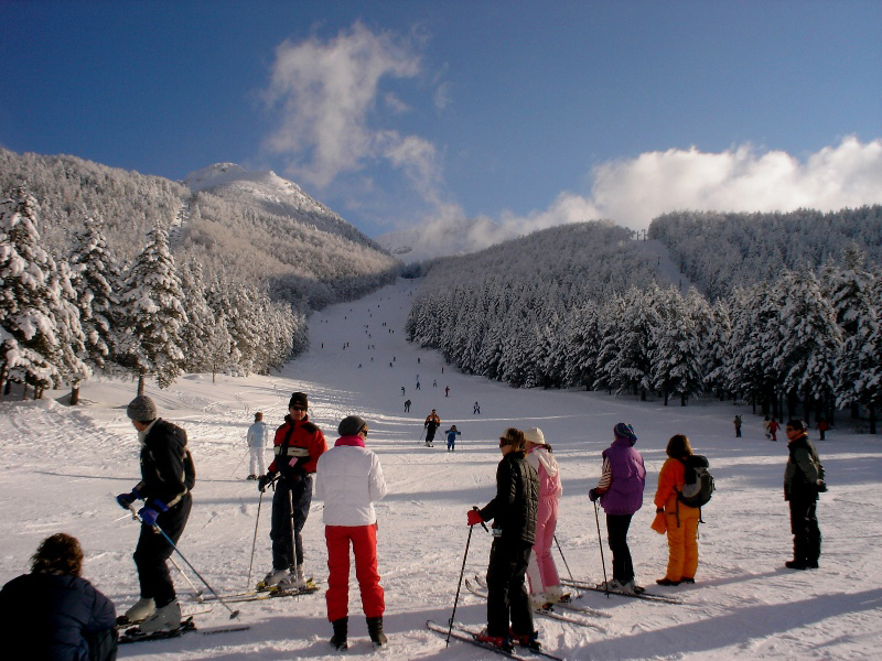
Provider panorama/video player. Capture time is shown by the camera.
Open camera page ↗